North Unit vs. South Unit: Which Part of Theodore Roosevelt National Park Should You Visit?
Choose the South Unit for the easiest first visit and the North Unit for a quieter, more rugged half day. The real decision turns on your route, walking plans, services, and one easy-to-miss time-zone change.
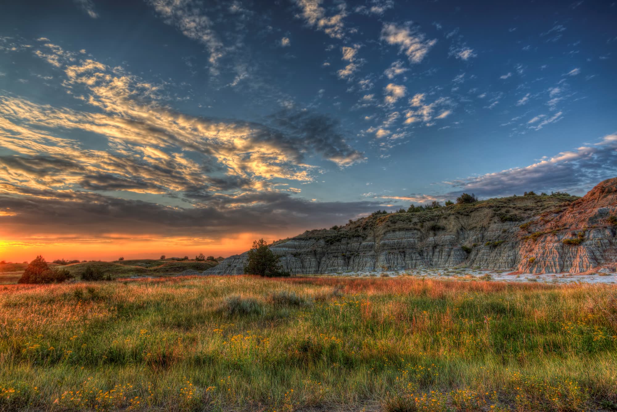
The short answer: Most first-time visitors with one day should choose the South Unit. It begins in Medora, sits directly off Interstate 94, has the longer scenic drive, more short roadside walks, a visitor-center museum, nearby food and lodging, and easy pairings with other Badlands attractions. Choose the North Unit when solitude, longer backcountry hikes, River Bend and Oxbow overlooks, or a route through Watford City matter more than convenience.
The two units are not opposite entrances to the same drive. They are separate pieces of Theodore Roosevelt National Park, 68 road miles and about 1 hour 10 minutes apart. The South Unit operates on Mountain Time. The North Unit operates on Central Time. That makes “seeing both today” a larger commitment than the map first suggests.
This guide was researched from current National Park Service information rather than a claimed field test. Road, trail, campground and visitor-center conditions can change. Check the park’s current conditions before leaving pavement you know is open.
North Unit vs. South Unit at a glance
| Decision | South Unit | North Unit |
|---|---|---|
| Best for | A first visit, short walks, families, services nearby, Medora plans | Solitude, rugged views, longer hikes, Watford City routes |
| Gateway | Medora, directly off I-94 | U.S. 85, about 15 miles south of Watford City |
| Scenic road | 36-mile paved loop; allow at least 2 hours before stops | 14 miles each way, 28 miles round trip; allow at least 1 hour 15 minutes before stops |
| Easy short walks | Skyline Vista, Boicourt Overlook, Wind Canyon, Buck Hill | Little Mo Trail; short additions at River Bend and Oxbow overlooks |
| Longer hiking | Several long loop combinations | Stronger concentration of named wilderness routes, including Buckhorn and Achenbach |
| Services | Medora at the entrance; more choices in Dickinson, 35 miles east | No food, gas or lodging in the unit; Watford City is the nearest full service base |
| Restrooms on scenic road | Accessible restrooms near Buck Hill road and Halliday Well trailhead | None along the scenic road; use Juniper Campground or picnic-area facilities |
| Time zone | Mountain Time | Central Time |
Both units have bison, badlands, scenic roads, campgrounds, picnic areas and visitor contact. Neither has restaurants, hotels or fuel inside the park. Wildlife is never scheduled. Use the stricter National Park Service guidance: stay at least 100 feet from bison and 25 yards from other wildlife, and follow any greater posted or ranger-directed distance. See NPS bison safety and the park's wildlife-viewing guidance.
Scenic-road descriptions, trail distances, listed accessibility features, camping and fees rechecked September 8, 2026. Safety wording was updated September 4; other details retain the August 8 check date. These checks do not establish same-day road or trail access.
Choose the South Unit for the fullest first visit
The South Unit solves more first-trip problems with less driving. Its entrance is in Medora. The visitor center has rangers, a 17-minute park film, a museum and Theodore Roosevelt’s Maltese Cross Cabin. The scenic loop begins there, and food, fuel and lodging are outside the gate rather than another town away.
The current National Park Service South Unit page describes a 36-mile loop and says to allow at least two hours just to drive it. Wildlife stops and even short trails add quickly. Our one-day South Unit itinerary turns that road into three plans: overlook-first, short-hike, and flexible lower-strain.
The South Unit is the better choice when you want several of these in one day:
- a series of short walks rather than one long hike;
- prairie-dog towns visible from the road;
- the park film, museum and Roosevelt cabin;
- a meal, room or extra attraction in Medora;
- a separate visit to the Theodore Roosevelt Presidential Library; or
- a first look that does not require a 100-mile round trip north from I-94.
“More convenient” does not mean small. A park drive, wildlife pauses, Wind Canyon, Boicourt Overlook and one longer stop can fill a day without difficulty. If Medora is also on the plan, give the park and the new library separate substantial blocks rather than treating either as a quick add-on.
Choose the North Unit for quiet, depth and a different route
The North Unit begins along U.S. Highway 85, about 15 miles south of Watford City and roughly 50 miles north of I-94 at Belfield. The National Park Service calls it less visited and describes its scenery as more rugged. Those are useful differences, but the most practical one is the road: it is an out-and-back, not a loop.
From the entrance, the 14-mile scenic road follows the Little Missouri River bottom, climbs to River Bend Overlook and continues along the rim to Oxbow Overlook. Driving to the end and back is 28 miles. The park’s no-stop estimate is at least 1 hour 15 minutes.
The North Unit is the stronger choice when you want:
- fewer town and attraction decisions around the park day;
- River Bend and Oxbow as the day’s principal overlooks;
- a short paved nature walk on the Little Mo Trail;
- a one-hour outing to a prairie-dog town or Sperati Point;
- a serious hike such as Buckhorn or Achenbach, planned with the park’s full trail guidance; or
- a natural fit with Watford City, Williston or a U.S. 85 route.
There are no restaurants, lodging or fuel inside the unit. Watford City has those services about 15 miles north of the entrance. The park also identifies a travel center near the U.S. 85–North Dakota 200 junction, about 20 miles south of the entrance. Fill the tank and bring food and water before committing to a long trail.
If you have only one day, do not spend it commuting between units
It is physically possible to see one overlook in each unit on the same day. That is not the same as meaningfully visiting both.
The official driving distance between the units is 68 miles, with an estimate of about 1 hour 10 minutes. Add the North Unit’s 1 hour 15 minute no-stop scenic drive and the South Unit’s two-hour minimum, and the day already contains more than four hours behind the wheel before a trail, wildlife delay, visitor center, meal or fuel stop.
The time zones add a planning trap:
- North Unit: Central Time
- South Unit: Mountain Time
The elapsed drive does not change, but the clock does. Driving north from Medora, an hour disappears from the schedule when the clock moves forward. Driving south, the clock moves back. Keep reservations and visitor-center closing times labeled with their local zone.
For one day, choose the unit that fits the rest of the trip:
- Staying in Medora, coming on I-94, or visiting the presidential library? South Unit.
- Staying in Watford City, arriving from Williston, or prioritizing a long wilderness hike? North Unit.
- Driving Fargo to Medora? Make the South Unit a separate day after the crossing; use our Fargo-to-Medora route guide for the realistic arrival clock.
With two park days, give each unit its own half day or more
A clean two-day park plan looks like this:
Day 1: South Unit and Medora
Begin at the South Unit Visitor Center, choose a scenic-drive plan based on weather and walking ability, and stop when the day has delivered enough. Use Medora for food and lodging. If the presidential library is a priority, put it on its own half day; its timed admission and exhibition length do not behave like a visitor-center stop.
Day 2: North Unit from Watford City or Medora
Drive to the North Unit with food, water and a full fuel plan. Pair the scenic road with one deliberate walk: Little Mo for the gentlest option, Caprock Coulee Nature Trail for a longer badlands sample, or Sperati Point from Oxbow for an open-prairie walk. Return to Watford City for the simplest service plan, or accept the longer drive back to Medora.
This sequence preserves both units’ strongest quality: time to watch the landscape change without racing the clock.
Which unit is better for children?
For most families, the South Unit is easier. Short walks can be combined or abandoned without turning around on a long out-and-back trail, prairie dogs are easier to include, the visitor center adds an indoor reset, and Medora supplies food and bathrooms close to the entrance.
The North Unit can still work well for children who are content with a scenic drive, overlook pauses and the Little Mo Trail. Its central constraint is logistics: no restroom along the scenic road and fewer immediate backup choices if energy, weather or hunger changes the plan.
Our North Dakota-with-kids road trip uses the South Unit as the more adjustable western anchor. It also treats “stop while this is still fun” as a planning rule, not a failure.
Which unit is easier with limited mobility?
Neither unit is uniformly accessible, and an overlook name does not describe every surface between parking and the view.
The park lists wheelchair-accessible pullouts or overlooks in both units. In the South Unit, those include Skyline Vista, River Woodland, several prairie-dog and badlands overlooks, and the sidewalk portions at Wind Canyon and Boicourt. In the North Unit, the list includes Longhorn Steer, Slump Block, Cannonball Concretion, River Bend and Oxbow.
For hard-surfaced trails with minimal slope, the park identifies Skyline Vista and Boicourt in the South Unit and the inner loop of Little Mo in the North Unit. River Bend uses a compacted-gravel route to the viewing deck. Wind Canyon’s sidewalk does not make its dirt-and-gravel trail with stairs accessible. Buck Hill includes stairs beyond its sidewalk and exhibit.
The South Unit usually wins on restroom distribution and nearby services. The North Unit can still deliver large views from a vehicle and selected pullouts. Read the park’s current accessibility details and ask a ranger about the exact stops you plan to use.
Camping does not settle the decision as neatly as it once did
Cottonwood Campground serves the South Unit; Juniper Campground serves the North Unit. Both are primitive campgrounds without RV hookups. Beginning May 1, 2026, all campsites in both campgrounds require reservations through Recreation.gov. The park warns that North Unit cellular service is limited, so do not wait until the entrance to book Juniper.
A standard park entrance pass is valid for seven days, which makes a two-unit visit practical without buying admission twice. As rechecked September 8, 2026, a private-vehicle pass costs $30 and the park does not require timed entry. Theodore Roosevelt National Park moved to cashless fee collection on May 1, 2026; verify current fees and pass rules before departure.
What about dogs?
Dogs do not make one unit’s trail system a better choice. The park prohibits pets on all park trails and in the backcountry. Leashed pets may use roads and road shoulders, sidewalks, parking areas, campgrounds and picnic areas. The park specifically warns that dogs can agitate bison and other wildlife.
If a dog needs real trail mileage, plan an appropriate route outside park boundaries rather than assuming a short nature trail will be allowed. Review the park’s pet rules before arrival.
The final choice
Choose the South Unit if this is your first visit, you have one day, you want several short walks, or your trip already includes Medora and I-94.
Choose the North Unit if your route already runs through Watford City, you want the park’s quieter and more rugged side, or one longer hike matters more than nearby services.
Choose both only when you can give them separate blocks and treat the 68 miles between them as part of the trip, not an invisible line on the map.
For a wider route beyond the park, start with our things-to-do-in-North-Dakota field guide. It shows when the North Unit earns another half day and which far-apart stops should not be forced into the same itinerary.
Source notes
- National Park Service: North Unit, current scenic-drive, hiking, service and visitor-contact overview; last updated May 17, 2026 when checked.
- National Park Service: South Unit, current scenic-loop, hiking, visitor-center and gateway-service overview; last updated May 17, 2026 when checked.
- National Park Service: Directions, unit separation and route addresses.
- National Park Service: Operating Hours and Seasons, unit time zones and seasonal road warning; last updated July 1, 2026 when checked.
- National Park Service: Hiking and Trail Information, trail distances, estimates and restrictions.
- National Park Service: Accessibility, surfaces, pullouts, restrooms and campground access.
- National Park Service: Camping, campground locations and the May 1, 2026 reservation change.
- National Park Service: Fees and Passes, current prices, seven-day validity and no timed entry.
- National Park Service: Wildlife Viewing, wildlife-distance and viewing guidance.
- National Park Service: Pets, current pet restrictions and nearby alternatives.
Details last checked August 8, 2026. Spot an error? Read our editorial standards and corrections policy.