The Night Fargo Helped Teach the World to Read a Tornado
In 1957, a lone Weather Bureau observer watched a black cone cross the prairie toward Fargo. The warning he improvised and the photographs residents made would become part of meteorological history.
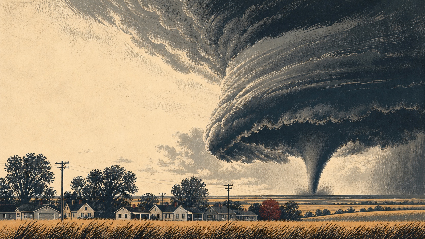
At the Weather Bureau office above Fargo’s Hector Airport, Ray Jensen had no Doppler radar, no mobile-phone alerts and no neat script waiting in a binder.
He had a west-facing window, one public telephone line and a direct phone circuit to local radio and television stations. He had sparse observations from across the region and fragments of radar information from far away. Most of all, he had the sky.
The afternoon of June 20, 1957, felt wrong. Temperatures were only in the 80s, but dew points in the 60s made the air oppressive. A cold front was moving east. Jensen, then a Weather Bureau observer-chartman, became convinced that thunderstorms would develop during his shift.
So, in a quiet moment before the phones began to ring, he drafted warnings for several emergencies that had not happened yet: wind, hail, severe thunderstorms and (just in case) a tornado. He left blanks for the time and place.
That small act of preparation would soon matter to an entire city.
A black cone on the horizon
Shortly after 6 p.m. Central Daylight Time, towering clouds west of Fargo began to grow with startling speed. Thunder followed. At about 6:20, a federal forecast arrived from Kansas City warning of severe thunderstorms and possible tornadoes across a large part of southeastern North Dakota and western Minnesota.
Five minutes later, while juggling calls and watching through the west window, Jensen saw a black cone on the distant horizon.
The air-traffic controller in Hector’s tower saw it too. They estimated it was about 20 miles west, near Mapleton. Later reconstruction placed it closer to 25 miles away and north of Casselton. Jensen filled the blanks in his draft. He read a local tornado warning to the broadcasters on the direct line, called emergency officials and asked the Highway Patrol to watch the storm’s movement.
That funnel did not continue into Fargo. It lifted.
The danger did not.
Behind it was a vast rotating cloud whose structure was not yet part of everyday weather language. Jensen could see a lowered pouch beneath the storm, a tail-like extension and a broader collar above it, all churning in what he later called a “rolling boil.” Residents looking west could see the rotation. Some mistook the low cloud itself for the tornado.
The storm was reorganizing.
It was not one tornado
What people across the Red River Valley experienced that evening looked, from a distance, like one long-lived twister. Ted Fujita would later show that it was a family of five tornadoes, formed one after another beneath the same rotating thunderstorm.
The sequence began near Wheatland and Casselton, crossed Fargo, continued near Glyndon and ended around Dale, Minnesota. The National Weather Service now describes an intermittent damage track of nearly 70 miles. Today, meteorologists would call its parent storm a long-lived cyclic supercell.
That distinction matters. A tornado family can make a storm appear to vanish and then return. One funnel narrows and lifts while another develops somewhere else under the rotating cloud. In 1957, the science and vocabulary needed to describe that life cycle were still taking shape.
Fargo was the third tornado.
At 7:28 p.m., nearly an hour after Jensen’s first sighting to the west, a pointed funnel dropped from the storm a few miles west-southwest of Hector Airport. It widened quickly as it reached the ground and moved toward the city’s northern neighborhoods.
Jensen kept the direct line open. Radio and television workers relayed his observations as he made them. E. Vernon Hendrickson, the senior Weather Bureau official who had returned to help, activated the emergency broadcast system. People listening across Fargo were told that a tornado was approaching from the west and to take shelter.
This warning effort was extraordinary for its era. At the storm’s 50th anniversary, the National Weather Service calculated one hour and three minutes between the initial local warning and the tornado’s arrival in Fargo. That is remarkable lead time even by modern standards. It did not reach everyone, and it could not make every home safe, but it gave many families time to move.
From the airport, Jensen watched debris climb into the funnel. Telephone stations on the direct line began dropping out as the tornado cut through wires. Heavy rain obscured the view. At about 7:40, power and communications at the Weather Bureau office failed completely.
The city was on its own.
Nine miles through a summer evening
The Fargo tornado carved a path about nine miles long and as much as 700 feet wide, according to the National Weather Service. In the working-class Golden Ridge neighborhood, many modest houses had no basements. Some were swept from their foundations. Shanley High School was destroyed. Across the city, more than 300 homes were lost and hundreds more were damaged; a City of Fargo history says roughly 2,000 people were left without homes.
The National Weather Service and the city attribute 12 deaths to the tornado, making it the deadliest in North Dakota’s recorded history. Six of those killed were children in the Munson family.
Numbers are necessary, but they can make catastrophe feel orderly. Survivor accounts preserved by the National Weather Service are anything but orderly. People remembered a television screen turning white before an announcer ordered viewers to basements. They remembered children crowding beneath a crib, a mattress held against a small window, birds thrown across a green-black sky, and the sudden quiet after the roar. They remembered rain pouring into houses whose upper floors were gone.
They also remembered warnings moving from person to person. A neighbor knocked. A driver turned around. Someone called upstairs. Families ran.
The storm’s history belongs first to them, not to a rating, a famous scientist or an arresting photograph.
Two hundred pictures become evidence
For its time, the Fargo tornado may have been the most photographed tornado in the country. Cameras were not rare, the storm approached in evening light, and the flat valley offered long views. Residents made still photographs and movie film from scattered points along the path.
The pictures did more than preserve the funnel. Together, they captured the rotating cloud before, during and after individual tornadoes formed.
A few weeks later, the U.S. Weather Bureau commissioned Tetsuya Theodore “Ted” Fujita of the University of Chicago to investigate. Fujita visited the Fargo-Moorhead area three times. He and local collaborators collected photographs, interviewed witnesses, measured damage paths and reconstructed where each camera had been pointing.
Then he treated ordinary pictures like scientific instruments.
Fujita grouped images by time, matched cloud features visible from different locations and used triangulation to estimate the storm’s size and motion. In sequences of movie frames, he followed the funnel as it changed from a cone to a cylinder and finally a pale rope. In his 1960 federal research paper, A Detailed Analysis of the Fargo Tornadoes of June 20, 1957, maps are crowded with camera positions, sight lines, sketches and damage traces. The paper turns a frightening evening into a moving three-dimensional structure.
The National Weather Service credits this work with bringing several now-familiar terms into meteorology: wall cloud, tail cloud and collar cloud. Fujita also demonstrated that the five tornadoes had formed beneath one organized rotating cloud. The damage path was not a random succession of accidents. It was the footprint of a system.
Modern forecasters have radar views Fujita could only imagine. Yet anyone who learns to look for a wall cloud is using language sharpened through those Fargo photographs.
Did Fargo create the Fujita scale?
Not by itself. Not immediately, either.
The storm is often described as the tornado that “created” the Fujita scale. The true connection is more interesting.
Fujita’s Fargo investigation established the method that would define much of his career: gather damage and photographs, map them meticulously, and reconstruct the invisible wind from the traces it left behind. Eleven years after the Fargo paper, in 1971, he proposed the six-category F scale for classifying tornado damage from F0 through F5.
The Fargo tornado was then rated F5, the highest category on that original scale, based on documented damage. No instrument measured a precise peak wind in the funnel. The old wind ranges attached to F ratings were estimates, not direct readings; the federal Storm Prediction Center now warns that they should not be taken literally.
The United States replaced the original scale with the Enhanced Fujita scale in 2007. The newer system considers more types of structures and how well they were built. Historical storms such as Fargo generally keep their original F ratings rather than being retroactively relabeled EF5.
So Fargo did not hand Fujita a finished scale. It gave him an unusually rich field of evidence, and a chance to show what careful reconstruction could reveal.
The newspaper that would not miss its edition
While rescuers worked, the small staff of The Fargo Forum reported, photographed and printed.
Power was unreliable. Streets were blocked. Members of the staff were covering a disaster in their own city. Even so, they produced a complete tornado edition within five hours. The coverage later received the 1958 Pulitzer Prize for Local Reporting, Edition Time. The Pulitzer citation praised the staff’s speed, detail and picture coverage under severe difficulty.
Cal Olson’s photographs from the aftermath became part of that record. The most famous image is also the most painful: a young neighbor carrying five-year-old Jeanette Munson from the ruins of her family’s home. It is journalism, evidence and a family’s worst moment at once.
That photograph is not decoration, and an archive holding a scan does not make it free to republish. Peace Garden Almanac does not reproduce it here. Readers who want to study the newspaper’s work can begin with the Pulitzer record and the Cal Olson Photograph Collection at the NDSU Archives, where item-level access and reuse conditions can be checked with the repository.
Responsible history sometimes means knowing which image not to take.
What remained after the funnel
Fargo rebuilt. Survivors carried the evening into every later thunderstorm. Weather science carried it too.
The warning story shows how much could be done with preparation, judgment and a telephone line. The research story shows what can happen when a scientist refuses to treat photographs as mere illustrations. Fujita found timing in them, geometry in them, rotation in them. A city’s terrible abundance of pictures became a vocabulary for storms people had struggled to describe.
There is an unsettling symmetry in that legacy. Fargo’s residents photographed the sky because they could see something extraordinary. Fujita studied those images because the extraordinary had become catastrophic. The same record that helped meteorology advance exists because families lost homes, schools and children beneath it.
That is the full inheritance of June 20, 1957: warning, loss, evidence and discovery bound together under one rotating cloud.
To place this history inside a present-day Fargo stop, plan the city in the statewide North Dakota field guide. The guide is a good place to start planning time in Fargo so visitors get the most out of the stop.
Source notes
National Weather Service, Grand Forks, “Fargo 1957 F5 Tornado”. This is the controlling source for the five-tornado family, path length and width, storm duration, 200-photo estimate, terminology, warning lead time and current historical characterization.
T. Theodore Fujita, A Detailed Analysis of the Fargo Tornadoes of June 20, 1957, U.S. Weather Bureau Research Paper No. 42, 1960. This primary research paper supplies the storm-family map, observation method, photographic triangulation and cloud-structure analysis.
Ray E. Jensen, “Fargo, North Dakota F5 Tornado June 20, 1957: How the Public Was Warned (A Personal Account),” hosted by the National Weather Service. Jensen explicitly identifies recollection, the weather log, his post-storm letter, Fujita’s paper and contemporary reporting as the foundations of his reconstruction. The article treats approximate times as such.
National Weather Service, Grand Forks, “Personal Accounts and Comments on the Fargo Tornado”. Survivor recollections are used sparingly and paraphrased; they are memories collected decades after the event, not precise meteorological records.
National Weather Service, “The Enhanced Fujita Scale” and the 2007 implementation notice. These accessible NOAA pages explain damage-based wind estimates, the original F scale and the February 2007 transition. Source links refreshed September 4, 2026 after the previous NOAA host stopped responding.
University of Chicago, “How one scientist reshaped what we know about tornadoes”. This institutional biography provides context for Fujita’s Fargo investigation and later scientific work.
City of Fargo, “1957 Fargo Tornado Book Presentation”. This institutional summary supplies the city’s totals of 12 deaths, approximately 2,000 people left homeless, more than 300 homes destroyed and hundreds damaged.
The Pulitzer Prizes, 1958 winner: Fargo Forum staff. This is the source for the prize category, citation and five-hour edition.
NDSU Archives, Cal Olson Photograph Collection and collection finding aid. These records establish the collection’s scope; they do not grant blanket permission to republish Olson’s images.
Facts last checked August 7, 2026. All clock times in the narrative are Central Daylight Time; Fujita’s 1960 paper generally prints Central Standard Time. Spot an error? Read our editorial standards and corrections policy.